Campbell River out of the thick of it as residents woke to the region’s first snowfall of the winter season over the weekend.
A mostly cloudy and colder day ahead, but a series of snowfall warnings continue to span the east coast of Vancouver Island, along with much of BC’s southern interior.
Environment Canada says snow could accumulate between Duncan and Nanaimo before clearing up tomorrow.
Stretches of several highways throughout the Interior could see significant snowfall before it gradually eases and moves south later today.
And a bit worse further north where the weather agency says an Arctic outflow warning is in effect for central and north coasts, - winds could gust up to 110 kilometres per hour and the wind chill could drop to as low as minus 20 Celsius.
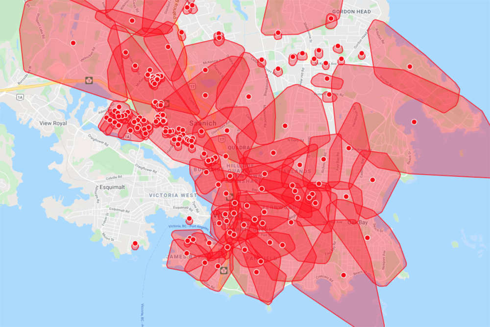
Meanwhile, power has been nearly fully restored - sitting at about 98 percent this morning - after a windstorm knocked lights out for about 330-thousand BC Hydro customers.
Dozens of spans of power line, hydro poles, transformers, and other various equipment was damaged by the storm, which saw wind hit up to 90 kph in Vancouver.

 Filberg Park Awarded Special Accreditation
 Sportsplex Closed Wednesday For Repairs
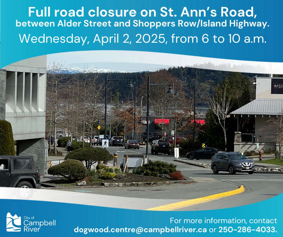
 St. Ann’s Road Closure Today
 Strathcona Regional District Approves 2025-2029 Financial Plan
 Comox Valley Talks Recreation
