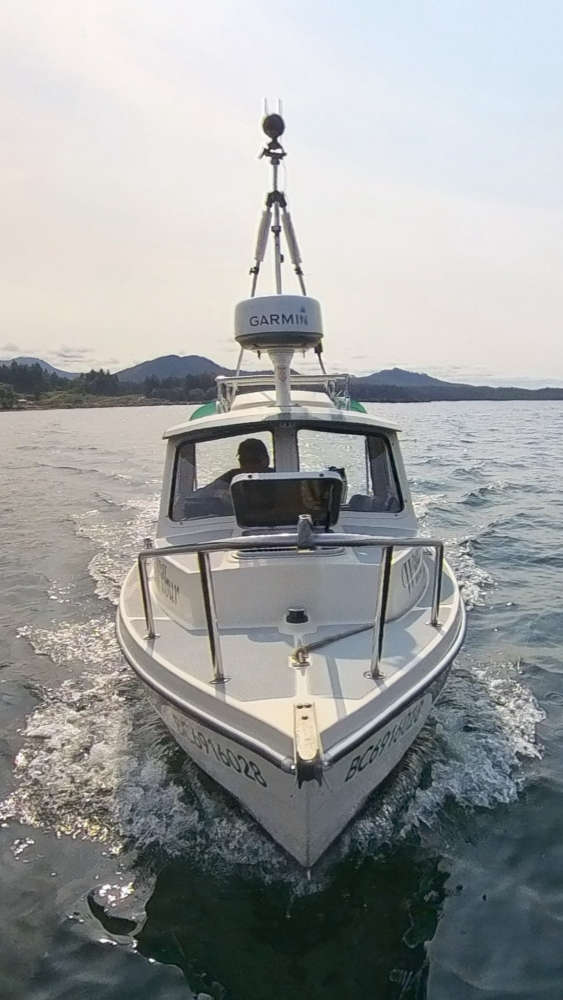
Be on the lookout for a boat called Wilbur this summer.
The Wilbur is a 16-foot research boat belonging to the Pacific Salmon Foundation (PSF), and will be sailing along Vancouver Island's eastern coast, mapping the shoreline, using 260-degree video footage and high-resolution photos.
The footage will help determine where the shoreline is natural and where it is modified by structures such as seawalls. This will help identify the extent of coastal hard-armouring and shoreline modifications to help coastal communities adapt to climate change.
It will also help locate areas where salmon habitats suffer from human-made coastal modifications.
PSF's Resilient Coasts for Salmon team started the five-year plan in 2021 and recorded footage of 238 kilometres between Victoria and Comox from 2021 to 2024.
This summer, they will be mapping from Comox to Port McNeill.
PSF will host two workshops in the North Island region this September for local communities to learn about shoreline habitat, sea level rise and coastal squeeze, and discuss options for coastline adaptation.
The team will be in Port McNeill on Sep. 4 and Campbell River on Sep. 5.
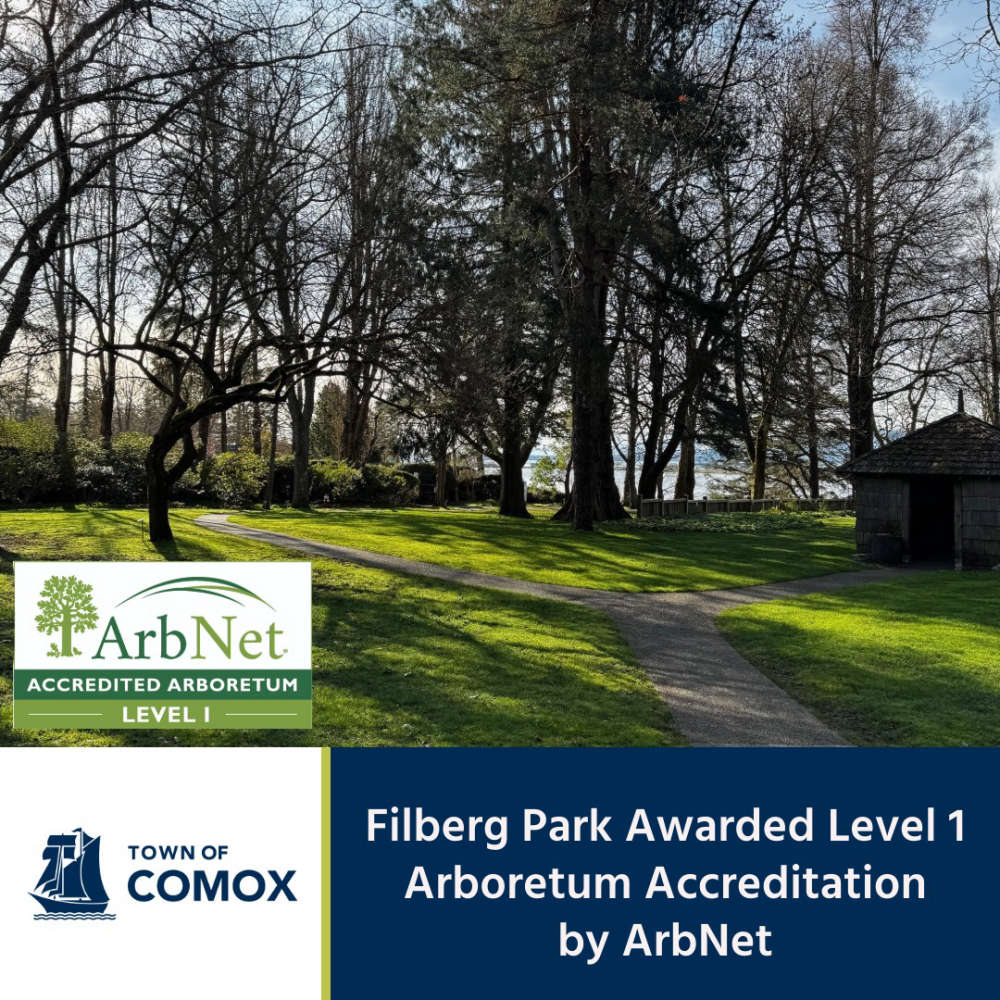 Filberg Park Awarded Special Accreditation
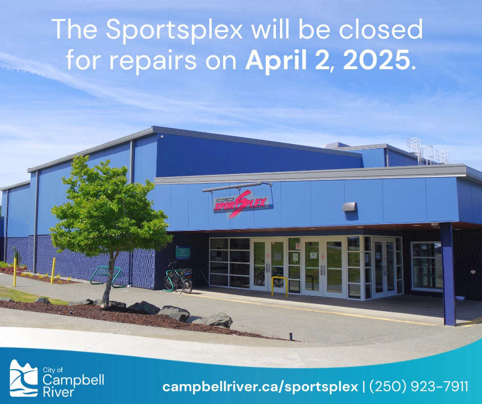 Sportsplex Closed Wednesday For Repairs
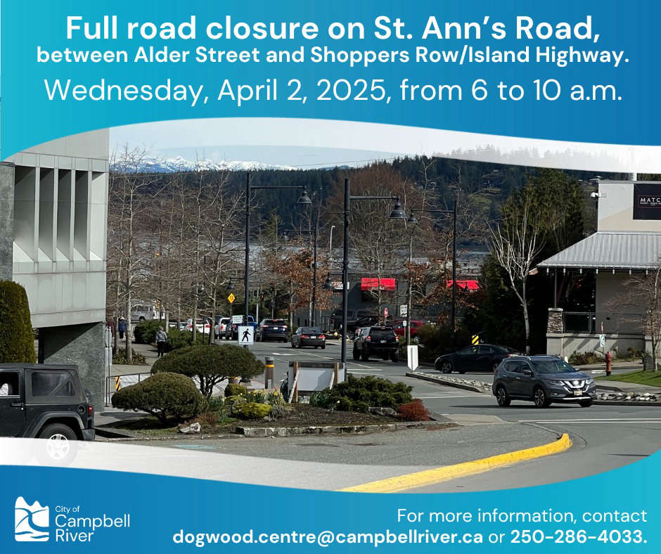 St. Ann’s Road Closure Today
 Strathcona Regional District Approves 2025-2029 Financial Plan
 Comox Valley Talks Recreation
